
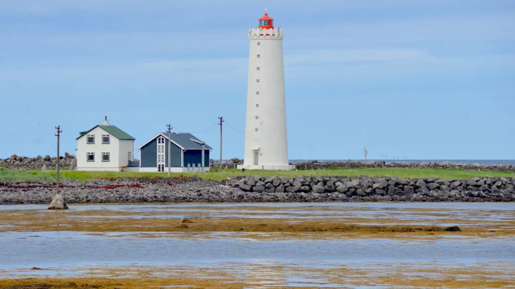
Hero: Grótta — Olga Ernst · CC BY-SA 4.0 · WebP, resized; hero cropped to 16:9.

AURORA GUIDE — FIND
Wondering where to see Northern Lights near Reykjavik? You can try open spaces within the city, the coast at its edge, or lakeside and fjord settings beyond the city lights. These seven locations help you choose a setting that suits your transport and experience, with conditions checked before every outing.
Choose your situation
No car: Öskjuhlíð / Perlan and Elliðaárdalur in Reykjavík, or Grótta / Seltjarnarnes with a planned journey home.
With a car: Rauðhólar / Heiðmörk at the city edge, or Kleifarvatn, Þingvellir and Hvalfjörður beyond Reykjavík, when access and weather allow.
Where to try tonight: open NERA Live Aurora Forecast to check cloud, darkness, wind and warnings before choosing a direction.
A good aurora spot is not necessarily a good spot tonight
A darker location is of little use beneath solid cloud or at the end of an unsafe drive. A clearer patch of sky in town can be more useful than a distant cloudy spot. You can see the Northern Lights in Reykjavík, although city lights make faint displays harder to spot. No location guarantees a sighting.
For activity and the Kp index, read How to Track the Northern Lights. For seasonal planning, see Best Time to See the Northern Lights in Iceland. This FIND guide covers locations and access; check current conditions in the Live Forecast.
Distances and times below are approximate editorial planning estimates from central Reykjavík to the described area in normal conditions, excluding waiting, longer walks and detours. They are not live navigation. Your chosen parking area, traffic, ice, wind and closures can change the journey substantially. Light-pollution descriptions are qualitative, with no ranking or new score.
Reykjavík
Öskjuhlíð / Perlan
Öskjuhlíð is a useful city option if you want to keep the evening close to your accommodation. Look for an open section of a familiar path rather than staying under dense trees. The city glow remains visible. You do not need to enter the Perlan museum to watch from the hill, and access to its building or observation deck should not be assumed after hours.
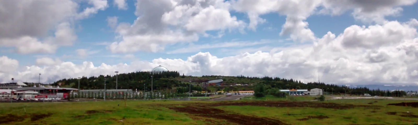

Distance and time: Around 3–4 km; roughly 10–15 minutes by car or 40–60 minutes on foot, depending on your starting point and path.
Light pollution: Noticeable city glow and lighting around Perlan; avoid direct glare while staying on a safe path.
View: An elevated outlook over the city and parts of the horizon; woodland paths have a more restricted sky view.
Access: Walk from town, take a taxi, or use public transport to a nearby stop and walk the final stretch. Check the current return timetable.
Parking: Parking by Perlan; check signs, restrictions and availability on arrival.
Forecast reference: Use Reykjavík as an approximate regional reference, not a forecast for a particular path.
Practical note: Scout the route in daylight. Carry a torch and wear grippy footwear on rocky slopes and icy sections.
Elliðaárdalur
Elliðaárdalur is a green river valley within Reykjavík, with walking paths, woodland and open patches. It can be a convenient short outing if you are staying in the eastern part of the city. Choose a familiar open space beside a path: being in a park does not automatically give you a clear view of the sky.
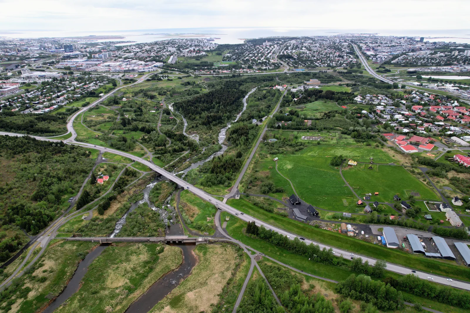

Distance and time: Around 6–8 km to a valley entrance; roughly 15–20 minutes by car. Bus and walking times depend on the entrance you choose.
Light pollution: City glow and lighting from nearby neighbourhoods and paths remain; avoiding a nearby lamp can improve your view.
View: Open patches offer more sky, while trees and the valley sides can obscure the low horizon.
Access: Several walking entrances from surrounding neighbourhoods; use public transport with a planned return, or a taxi.
Parking: Use a signed parking area at your chosen entrance. There is no single dedicated aurora parking lot for the valley.
Forecast reference: Reykjavík is an approximate regional reference; also inspect the sky where you are.
Practical note: Stay on familiar paths and bridges. Keep away from riverbanks and waterfalls in darkness, and watch for ice.
At the city edge
Grótta / Seltjarnarnes
The Seltjarnarnes shoreline offers an open sea horizon and the familiar Grótta lighthouse. You can reach this edge-of-town location without a car, but a long, windy walk needs more planning than stepping outside your hotel. Watch from a safe place on the mainland coast; crossing to the lighthouse is unnecessary.
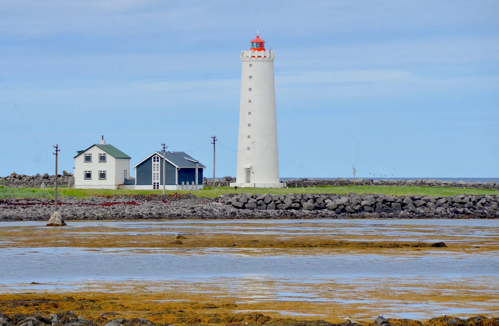
Distance and time: Around 5–6 km; roughly 15–20 minutes by car or 60–90 minutes on foot. Allow for the bus journey and final walk if using public transport.
Light pollution: Less direct city lighting towards the sea, although city glow and passing headlights remain.
View: A broad sea horizon, with greater exposure to wind than sheltered city paths.
Access: Follow the coastal path, take a taxi, or use a bus to Seltjarnarnes and walk to the shoreline. Plan your return before leaving.
Parking: Parking areas are available near Grótta; follow signs and keep access clear.
Forecast reference: Reykjavík is a broad regional reference, not a local forecast for Grótta.
Practical note: The lighthouse causeway is accessible only at low tide and can be cut off quickly. Check tide times and local restrictions. The island is closed from 1 May to 15 July for nesting birds. Keep clear of waves.
Rauðhólar / Heiðmörk
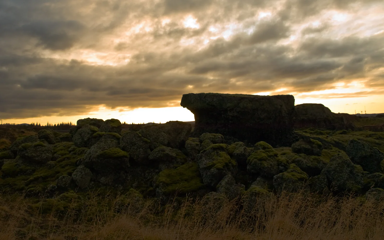
The red Rauðhólar pseudocraters in the Heiðmörk area give you a different setting from the city shoreline. Open sections can offer a useful sky view, while woodland elsewhere in Heiðmörk restricts the horizon. A car is the more practical option from central Reykjavík after dark; a dark-looking patch on a map is not enough to choose a safe stopping place.
.jpg)
Distance and time: Around 12–18 km to the Rauðhólar area; roughly 20–30 minutes by car, depending on the approach.
Light pollution: Usually less direct lighting than downtown, but city glow can remain. This is a qualitative description, not a measured rating.
View: Open ground between the hills; crater ridges and trees can hide parts of the horizon.
Access: Drive to a permitted access point, then follow a marked path. Check local restrictions and the approach road.
Parking: Use existing signed parking areas. Do not drive or park on vegetation.
Forecast reference: Reykjavík may be used only as an approximate regional reference; local cloud and wind can differ.
Practical note: This is a protected landscape. Stay on paths and avoid climbing fragile red formations for a photograph. Watch for uneven ground after dark.
Outside Reykjavík
Kleifarvatn
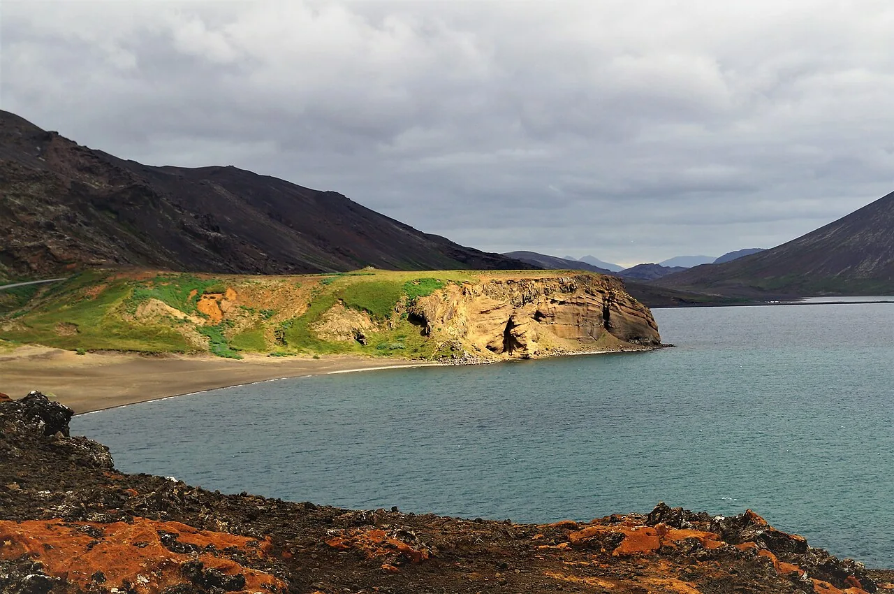
Kleifarvatn lies between volcanic hills on the Reykjanes peninsula. The darker landscape and broad lake make an appealing setting for watching and photographing the sky, but the surrounding ridges form part of the horizon and the shoreline can be very exposed. Go only after checking the approach, weather and a safe stopping place.

Distance and time: Around 35–45 km; roughly 40–55 minutes by car to an accessible viewpoint. Allow longer in poor weather or when restrictions affect the route.
Light pollution: Little local lighting beyond vehicles and scattered buildings; this does not guarantee a clear or completely dark sky.
View: Open sky over the lake, with surrounding hills limiting parts of the low horizon.
Access: By car, usually via road 42 from the Hafnarfjörður side. Check road conditions and Reykjanes alerts first; a route shown on a map does not establish that it is open.
Parking: Use existing permitted pull-offs and viewpoint parking only. If you cannot stop safely, continue or turn back.
Forecast reference: There is no directly matching NERA region. Do not substitute Reykjavík, Keflavík or Þingvellir for local conditions at the lake.
Practical note: Never stop in the traffic lane. Stay away from steep edges and the water, do not walk onto lake ice, and respect closures and warnings.
Þingvellir
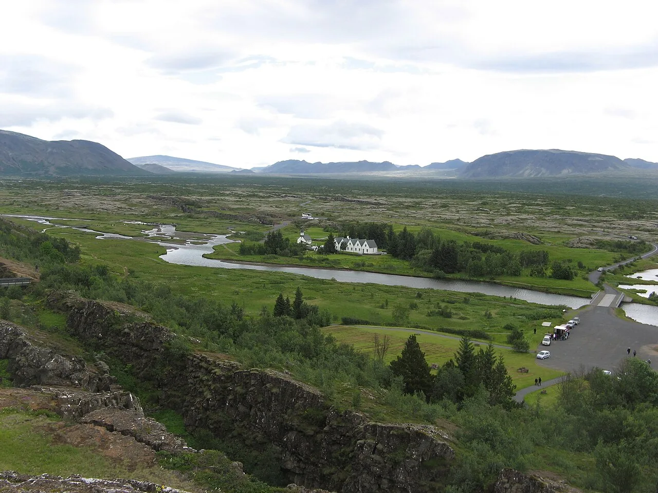
Þingvellir offers a broad national-park landscape beyond the city lights. Choose a permitted open area with a safe approach rather than descending into gorges or exploring fissures at night. Familiarity from a daytime Golden Circle visit does not make the same paths safe in darkness.

Distance and time: Around 45–55 km; roughly 45–60 minutes by car via road 36 in normal conditions.
Light pollution: Less city lighting than Reykjavík, with local glare from parking areas, buildings and other vehicles.
View: A broad landscape and open sections of sky; terrain and gorge walls can limit the view.
Access: By car or with a guide. Check road 36, weather warnings and the park’s current path closures.
Parking: Official parking at P1, P2 or P5, according to the open approach and your planned walk. Parking is charged; check the park website for current rules and fees.
Forecast reference: Use the Þingvellir region in NERA Live Forecast as a regional reference, then check conditions locally.
Practical note: Keep to permitted paths. Watch for ice, fissures and steep edges, and respect evening closures. Do not assume toilets or the visitor centre are open at night.
Hvalfjörður
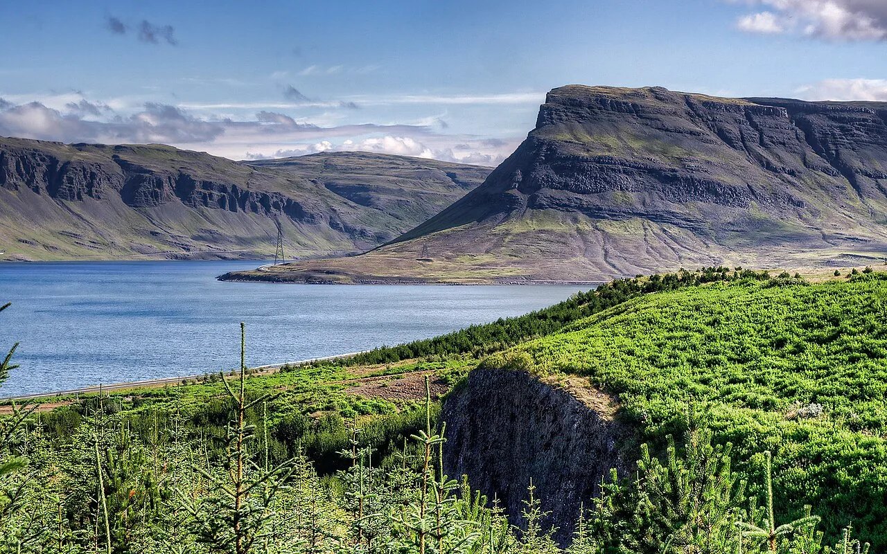
Hvalfjörður is an entire fjord, not one parking spot. Some permitted coastal stops offer less local lighting and a view across the water, but mountains obscure parts of the sky. Select a specific safe stopping place before you leave and allow time for the drive back.
.jpg)
Distance and time: Around 40–70 km to a chosen stop on the southern or inner shore; roughly 45–75 minutes by car. Driving around the whole fjord takes considerably longer.
Light pollution: Lower local lighting away from settlements and lit buildings; headlights and farm lights can still affect viewing.
View: Views across the fjord framed by mountains; steep slopes restrict the horizon and the view changes along the shore.
Access: By car, using road 1 to the turn for road 47. For a shoreline visit, follow your chosen route around the fjord rather than simply taking the tunnel that bypasses it.
Parking: Use signed public stopping areas and permitted parking only. Do not enter private farm driveways or park on the road shoulder.
Forecast reference: There is no directly matching NERA region for Hvalfjörður. Check local cloud, wind and road conditions; do not assign the Reykjavík or Þingvellir forecast to the fjord.
Practical note: Keep your attention on driving. Stop fully clear of traffic in a permitted place before watching. Avoid wet or icy shoreline edges and do not drive when tired.
Before you leave
Start with NERA Live Aurora Forecast. Then check official weather warnings, conditions on your actual roads and SafeTravel alerts. Reykjavík is only a broad reference for city and nearby locations; Þingvellir has its own region. Kleifarvatn and Hvalfjörður have no directly matching NERA region.
Bring warm layers, wind and rain protection, grippy footwear, a torch and a charged phone. Know your way back and set a return time. Do not rely on open facilities at remote stops. Keep required vehicle lights on; park legally and choose a position that reduces glare for other viewers. In an emergency, call 112.
Follow conditions with Aurora Alert
If you would rather not keep refreshing the forecast, use the Aurora Alert form on the NERA Forecast page. Your subscription is completed after email confirmation. An alert highlights promising conditions; it is not a sighting guarantee or confirmation that your chosen road is safe.
Prefer someone else to monitor conditions and drive?
Explore NERA Aurora Hunt for a guided outing with conditions monitored and the direction chosen for the evening. It is a useful next step if you prefer help with planning and night driving. Ask the NERA team about availability and details; this guide does not offer an online purchase or a confirmed booking.
Found the Aurora?
Enjoy the view, then capture a memory. For phone and camera settings, continue to CAPTURE: How to Photograph the Northern Lights in Iceland.
Frequently asked questions
Can you see Northern Lights in Reykjavík?
Yes, when darkness, sufficient activity and clear sky coincide. An open space away from direct lamps helps, but faint displays can be difficult to see through city glow.
Do I need a car?
Öskjuhlíð, Elliðaárdalur and Grótta offer options without a car, depending on your starting point and a planned return journey. A car or organised outing is more practical for Rauðhólar and the locations beyond town.
What is the best place tonight?
There is no permanent best location. Open NERA Live Forecast, check the local sky, wind and safe access, then choose a spot. This guide does not create a separate forecast.
Do I need to cross to Grótta lighthouse?
No. Watch from a safe place on the mainland shoreline. Crossing to the island depends on low tide and local restrictions.
Are darker places outside the city always better?
Less lighting can help, but cloud, a blocked horizon or an unsafe approach can outweigh that advantage. Do not drive farther simply because a place promises a darker sky.
Access and safety sources
Reykjavík – Öskjuhlíð · Reykjavík – Elliðaárdalur · Visit Reykjavík – Grótta · Heiðmörk – landscape and access information · Visit Reykjanes – Kleifarvatn · Þingvellir – parking · Þingvellir – evening path closure notice · SafeTravel – driving
Practical sources checked on 1 October 2026. Recheck current conditions and local signs before every trip.